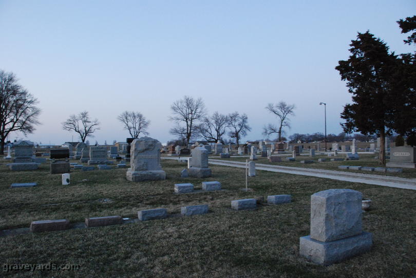
Saint Anne Township is one of seventeen townships in Kankakee County, Illinois, USA. As of the 2010 census, its population was 2,191 and it contained 943 housing units. The township was created on March 11, 1857, from parts of Aroma Township.
Geography
According to the 2010 census, the township has a total area of 30.3 square miles (78 km2), of which 30.26 square miles (78.4 km2) (or 99.87%) is land and 0.04 square miles (0.10 km2) (or 0.13%) is water.
Cities, towns, villages
- St. Anne
Adjacent townships
- Ganeer Township (north)
- Pembroke Township (east)
- Beaverville Township, Iroquois County (southeast)
- Papineau Township, Iroquois County (southwest)
- Aroma Township (northwest)
Major highways
- Illinois Route 1
Lakes
- Cote Lake
Demographics
Government
The township is governed by an elected Town Board of a supervisor and four trustees. The township also has an elected assessor, clerk, highway commissioner and supervisor. The township Office is located at 471 West Sheffield, St. Anne, IL 60964.
Political districts
- Illinois's 11th congressional district
- State House District 79
- State Senate District 40
School districts
- St. Anne Community Consolidated School District 256
- St. Anne Community High School District 302
References
- "St. Anne Township, Kankakee County, Illinois". Geographic Names Information System. United States Geological Survey, United States Department of the Interior. Retrieved February 20, 2010.
- United States Census Bureau 2007 TIGER/Line Shapefiles
- United States National Atlas
External links
- Village of St. Anne official site
- Kankankee County Official Site
- City-Data.com
- Illinois State Archives